
Yesterday, Choppy and I visited two of Texas’ State Parks: Enchanted Rock State Natural Area and Pedernales Falls State Park. The plan was to enjoy a couple nice hikes, then head to San Antonio for an evening on the Riverwalk before heading to west Texas today.
Our first stop of the day was Enchanted Rock State Natural Area. As the name implies, the park involves a rock. Specifically, according to the Enchanted Rock State Natural Area website, the park has one of the largest batholiths in the United States. A batholith is, apparently, an “underground rock formation uncovered by erosion.” So yeah, the park involves a rock. A big one.
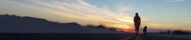
 A picture of Enchanted Rock. As you can see, it’s a big rock. Though its level of enchantedness cannot be determined by this picture.
Now, the thing to do while at Enchanted Rock State Natural Area is to climb to the top of the rock. A steady stream of people were leaving their cars, headed straight for the rock and the summit climb. Many of these individuals looked to be in less-than-peak form, suggesting that the climb is quite easy and pleasant. However, I looked at the rock, looked at Choppy, considered my own lack of physical fitness, and determined that there was not a chance we were going to climb a giant rock in the middle of Texas. Instead, we would hike around the rock, on a path that appeared to be relatively flat. Or, to be accurate, a path that appeared to be flat from the nice map at the parking lot.
It was not flat. Not at all. Note to self: When the nice ranger at the entrance to the park gives you a map with elevation marks on it, perhaps you should rely on that to determine the relative hill-iness of the path you are about to take, rather than the parking lot map. They probably don’t hand out maps with elevation marks just because they make the map prettier.
 This picture was taken while the parking lot was still within view. As you can see, Choppy was already panting, as we had climbed a hill to get here. We may live in a city which means “high land” in French (Terre Haute), but seriously, just leaving the parking lot involved climbing more of a hill than exists anywhere in our part of Indiana.
My first not-so-brilliant idea was to cut the hike a bit short, and take a shortcut between two of the batholiths at the park called “Turkey Pass Trail.” I assumed that, as a pass, it would be a nice, flat-ish stroll between the large rocks. It was most definitely not anything like that. It was, put simply, a trek over a lot of rocks that was far from flat and often not actually a path, but a general indication to climb over a series of rocks between two trail markers.
 This? This is Turkey Pass Trail. Definitely no path here. Definitely not flat. Definitely not Indiana.
About halfway up Turkey Pass Trail, Choppy and I stopped to have some water and a break in the shade. While enjoying our break, a series of hikers passed by us, happily chattering away and looking as if they climbed these sorts of rocks daily. Several were obviously retirees. None of them seemed to be in need of a break.
 On the plus side, the rocks made for nice photo ops.
We finally made it over Turkey Pass Trail, at which point I decided we would make for Loop Trail, assuming it would be flat. Loop trails seem innocuous, like loop roads traveling between suburbs, flat and easy and round and with plenty of places to stop and buy shoes as you travel from parking lot to parking lot in the comfort of your SUV.
This Loop Trail was not flat. Not flat at all. Nor did I have my SUV to traverse the trail in comfort.
On the plus side, unlike Turkey Pass Trail, the Loop Trail was (relatively) free from giant rocks that needed to be climbed up and over. Considering I was wearing a skirt and sandals, this was a welcome change from Turkey Pass Trail.
And so, Choppy and I hiked on. There were numerous issues, such as unmarked splits in the trail and packs of roving high schoolers (what they were doing at a State Park on a Sunday, I will never know), but the Loop Trail was otherwise much more pleasant than Turkey Pass Trail.
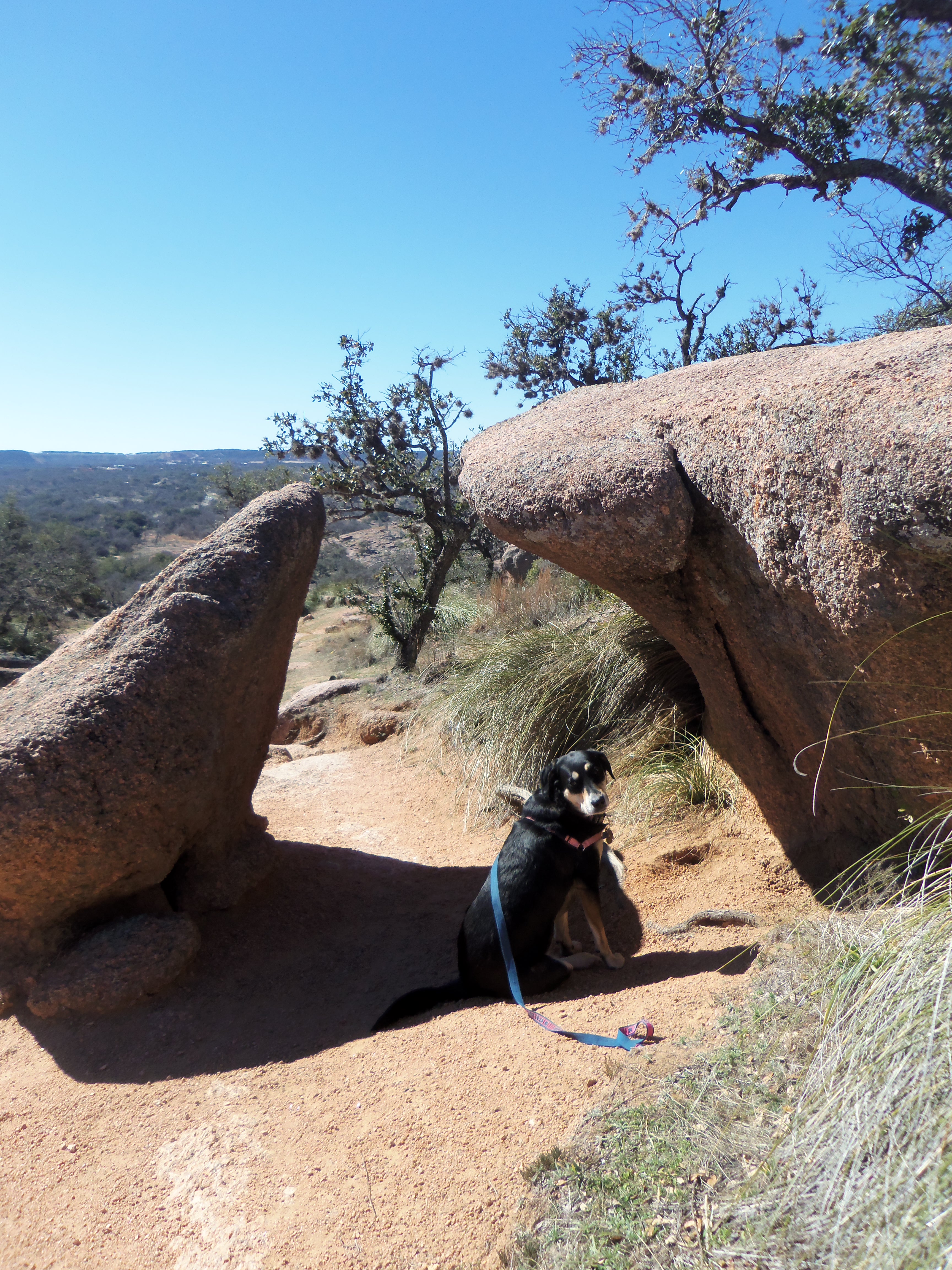
 Choose your path wisely, or you might inadvertently wind up climbing the giant rock. Note the complete and utter lack of signage indicating which of these two paths is actually the one you are intended to take.
We did eventually get into a hiking rhythm, though Choppy looked as if she was going to keel over, despite our regular water breaks, her Indiana roots very obvious in the Texas hills. And then, out of nowhere, we came across a pond. For the first time since leaving the parking lot and the comfort of our car, Choppy looked happy.
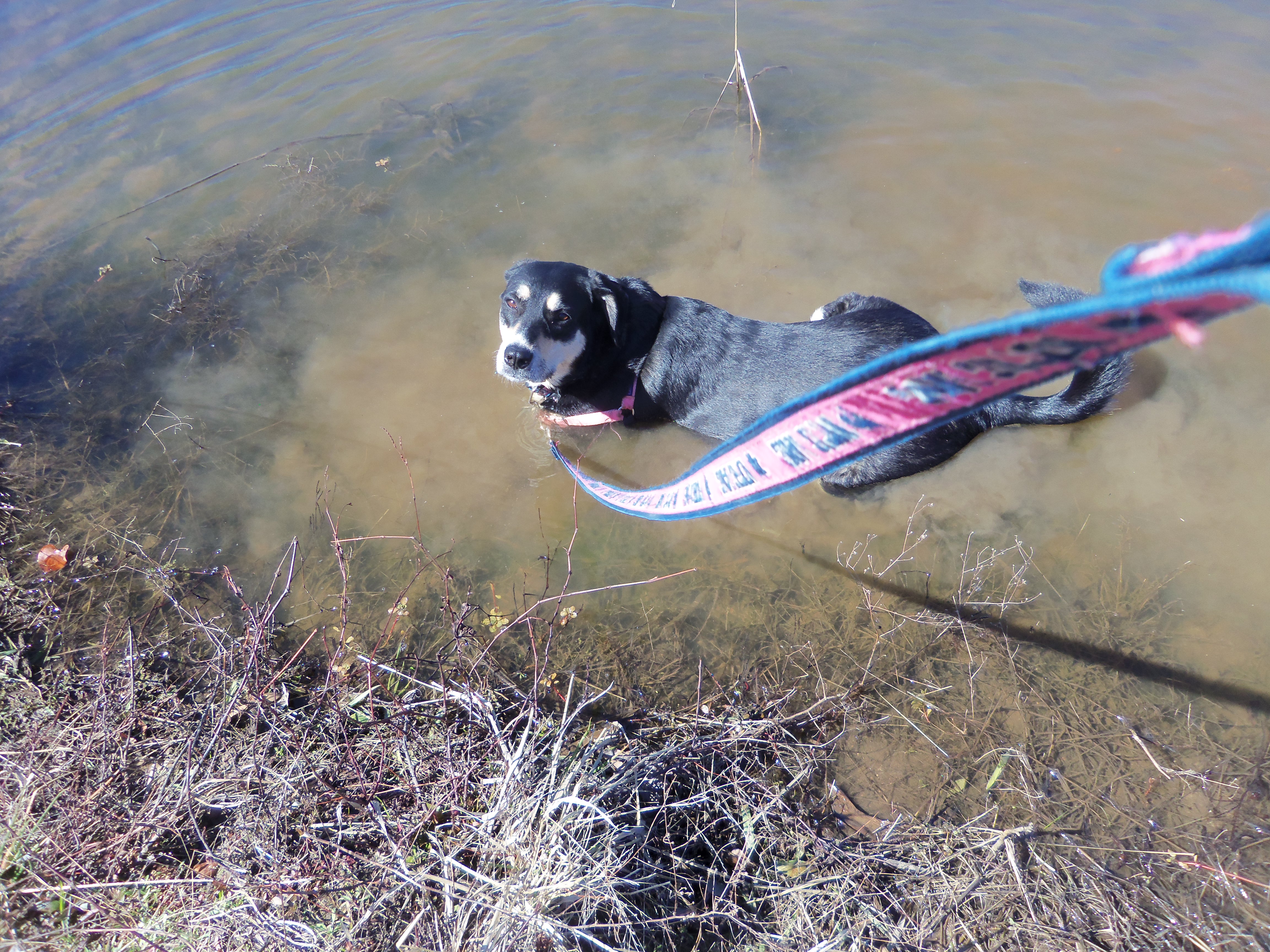 Choppy, immediately making herself at home in the pond by lying down in the mud and muck.
After letting her cool off in the water for a bit, we continued on.
 A sign I only saw after Choppy went for a swim.
Eventually, we made it around Enchanted Rock, back to the car, and on to Pedernales Falls State Park, where we (wisely) only went on a small hike to view the falls, rather than an ambitious hike around a large rock. The night ended as intended, with a walk on the Riverwalk in San Antonio, a nice, flat stroll much more familiar to those used to hiking around Indiana.
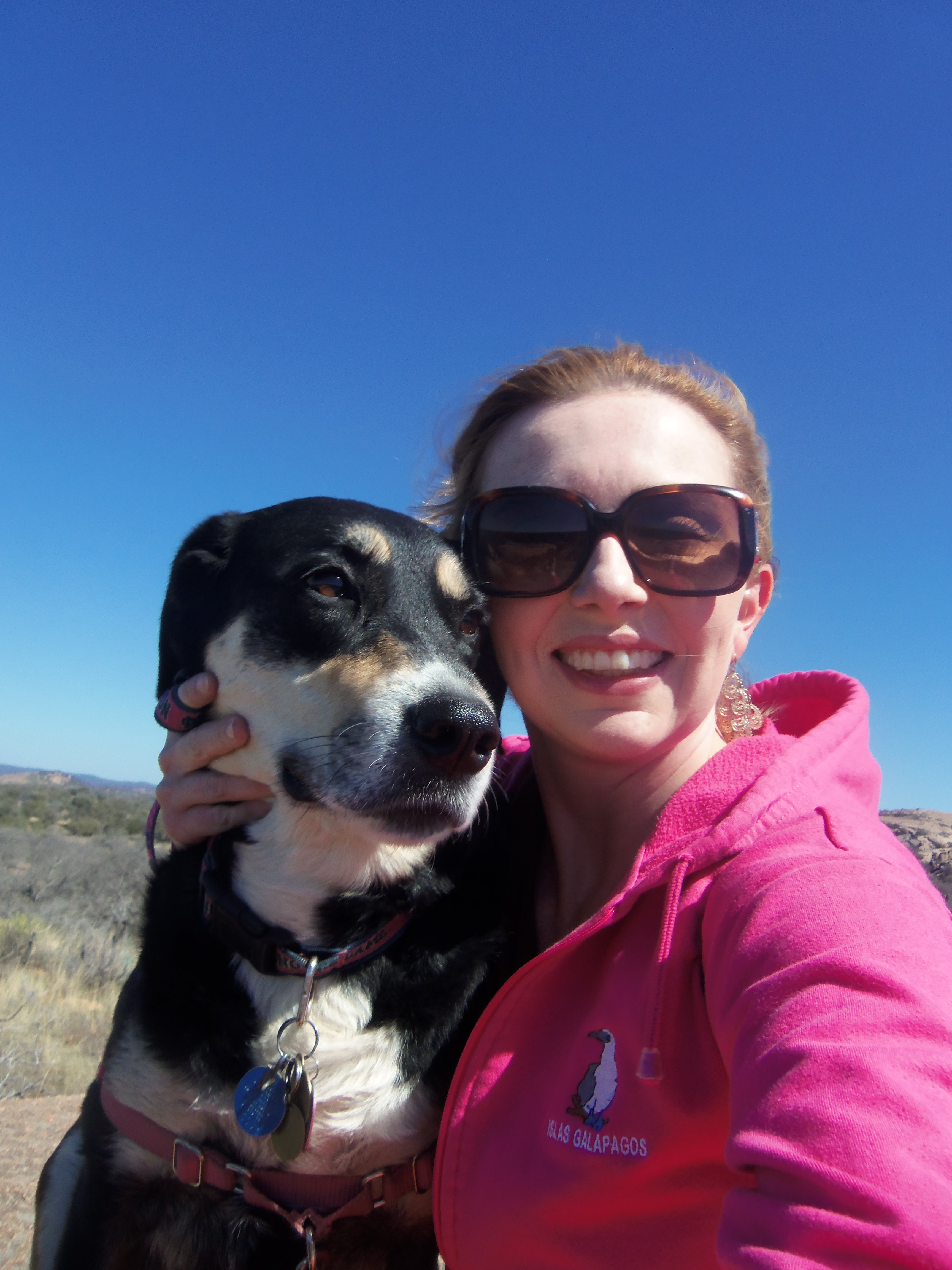 As you can see from this self-portrait, Choppy was not happy during our hike. Though whether this was from the hiking or my sticking my hand all up in her face to make her look at the camera for this picture is not clear.

Love hearing about your travels with Choppy. Keep the posts coming.
LikeLike
Yvonne – I will keep them coming! And I am glad you are enjoying the blog!
LikeLike
i love hearing about you and choppy. I saw in your post that you will be heading to West Texas. Depending on where you might actually pass thru my area of West Texas. I am from a small town called Hale Center (called this because it is in the center of Hale County) We are located between Amarillo and Lubbock. I hope that you enjoy your trip and have lots of fun sightseeing. Happy traveling!!
LikeLike
Melissa – We are further south right now, near Big Bend. But we may end up headed home going your way in a couple of weeks, at the end of this part of the trip.
LikeLike
I think that your trip is really cool. I wish ya’ll safe travels!
LikeLike
Thanks, Melissa! And so far, it has definitely been great!
LikeLike
Come to Sydney Australia. Choppy will love it here.
LikeLike
She would! I would love another trip to Australia as well!
LikeLike